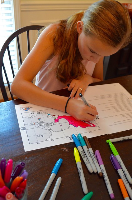

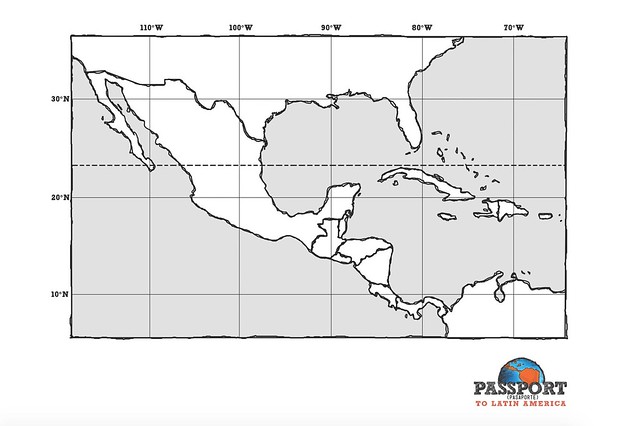
Can your students name the two peninsulas located in Mexico? Can they name the seven countries that make up the Central American isthmus? (What is an isthmus anyway?) What is the largest island in the Caribbean? Can they name the only English-speaking country in Central America?
If your students need help with a few of these questions, here’s a fun way to learn more with our “Follow the Leader” game. This game uses a map of the Latin American region that includes Mexico, Central America, and the Caribbean Islands! This activity will help reinforce the “big picture” geography of Central America.
For this activity you will need:
- an outline map of Latin America, printed on cardstock
- Follow the Leader instructions
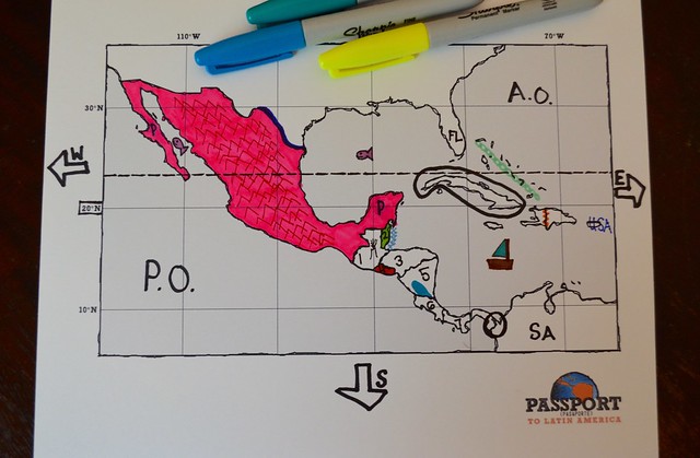
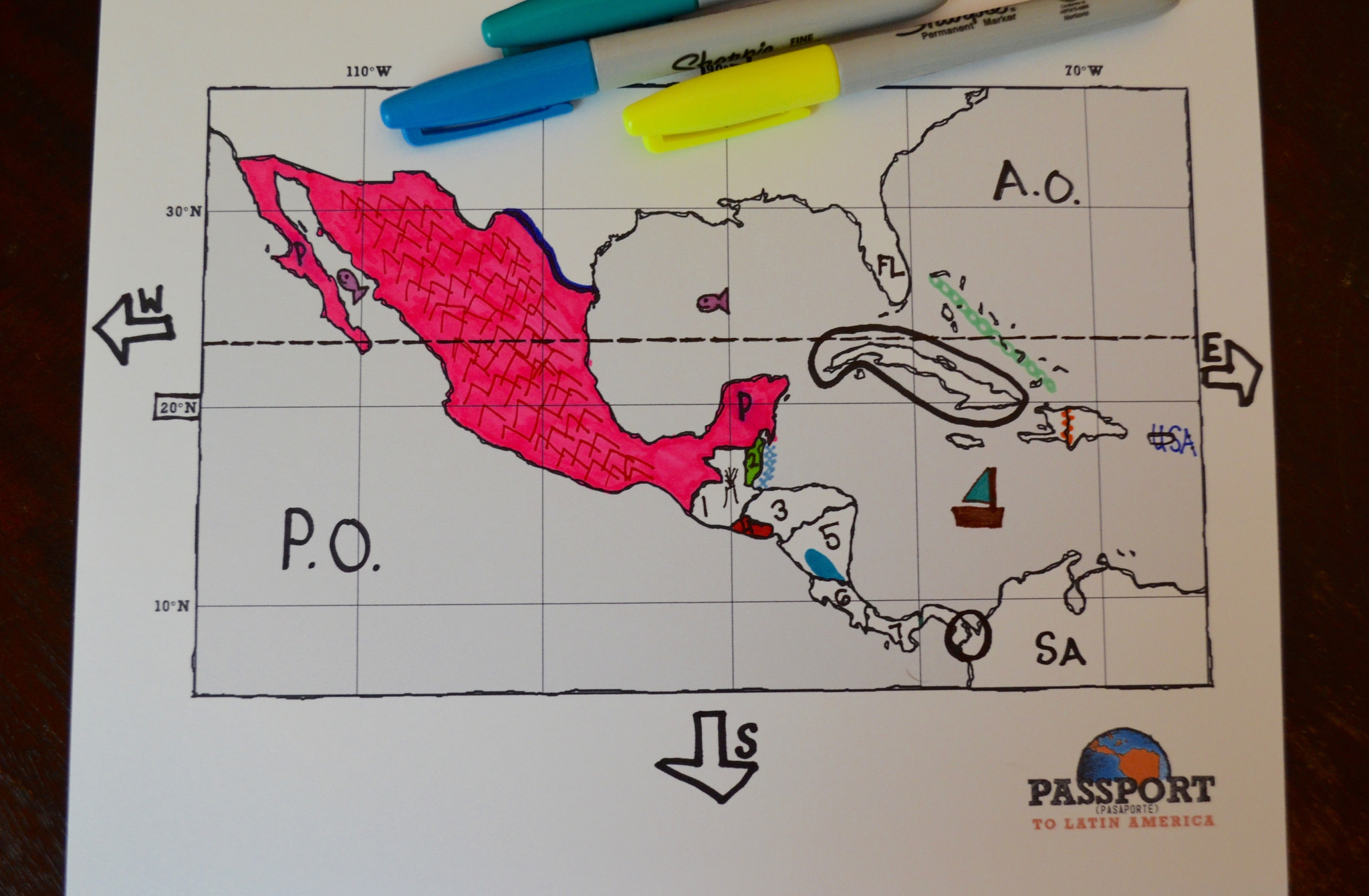
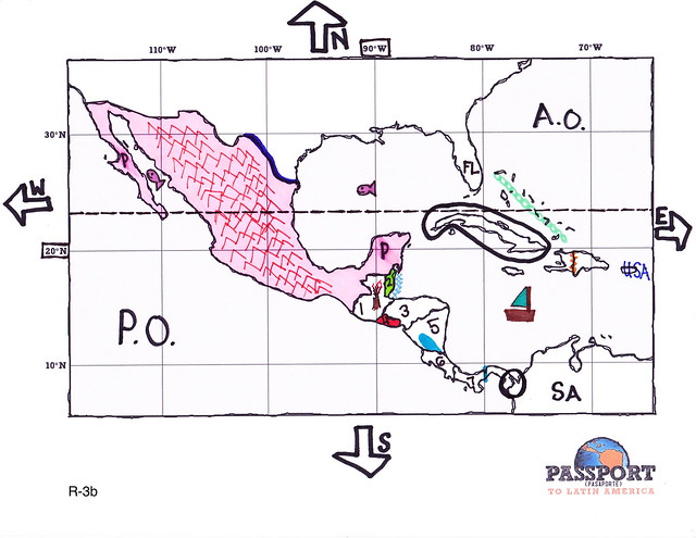
- a completed Latin America map for reference
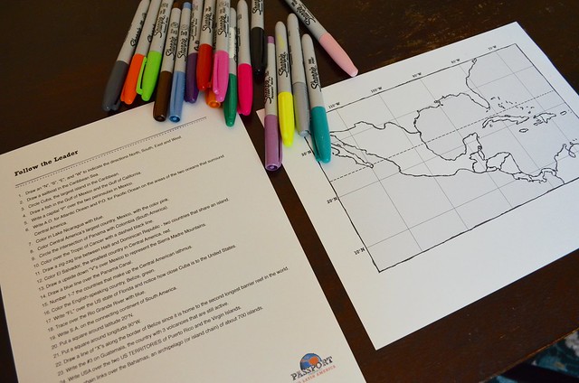
- colored pencils or markers
Download the outline map of Latin America HERE.
 Download the game instructions HERE.
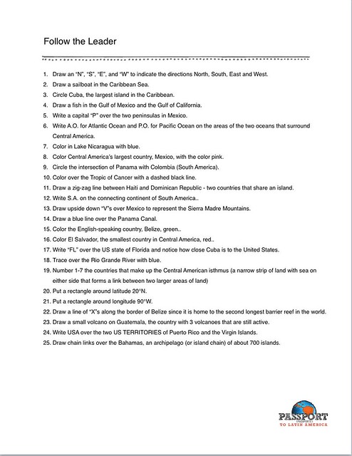
And download a completed map to use as a guide HERE.
Here’s how our version of the game works: If you are using this game in a classroom setting, as the teacher, perform one of the instructions on a blank map and have students copy (or follow) your example. This can be performed on a blank paper map, on an overhead, or on an iPad with a simple art app. If multiple students are working through this activity at home, take turns being the “leader”. There are 25 instructions available for this activity. You can adjust the difficulty level by choosing how many directions you will “follow” (10 or so for the youngest students v. all 25 for older students). Also, the directions generally increase in difficulty as you move through the instructions.