![]()
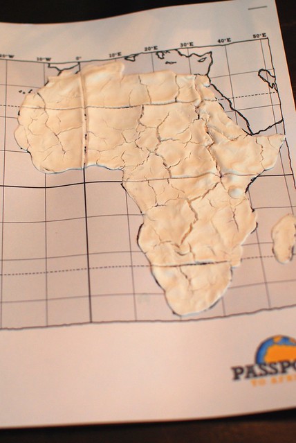
This week we will complete the Dough Maps of Africa that were formed last week. Specifically, this week students will paint and label their maps.
You will need…
Model Magic map from previous week
Yellow, orange, green, blue and black acrylic paint
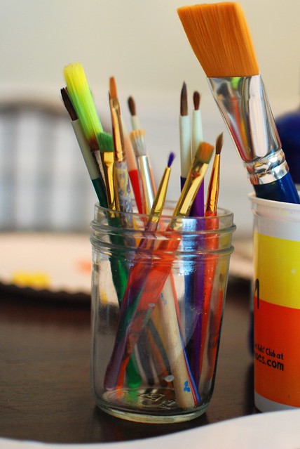
Paint brushes
Cup of water
Paper towel
Black pen if labeling
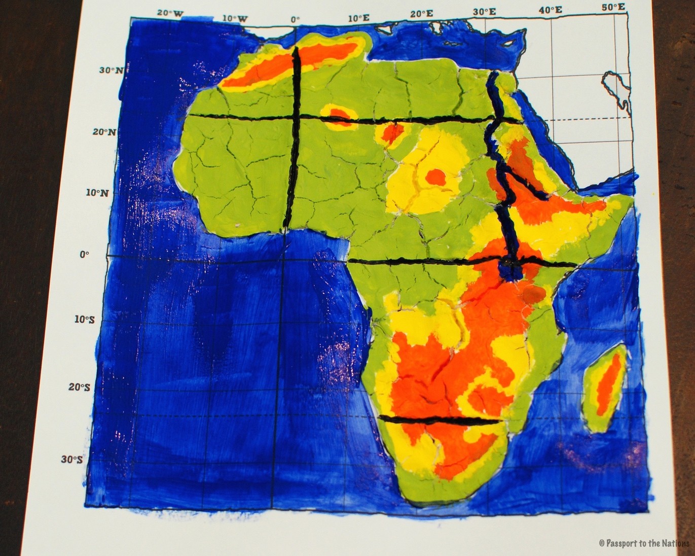
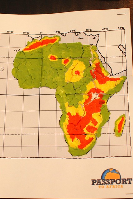
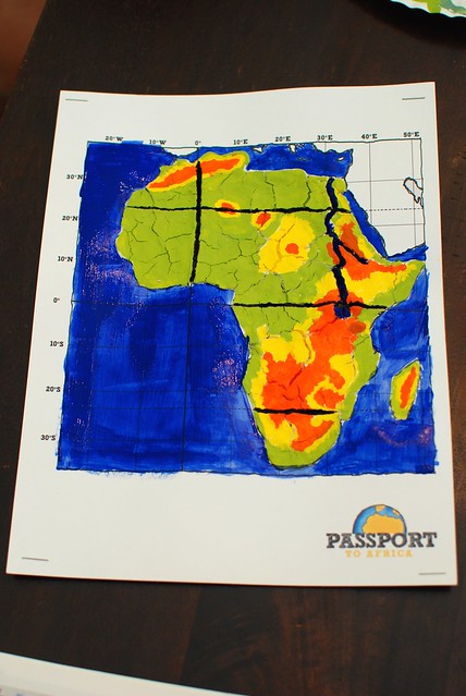
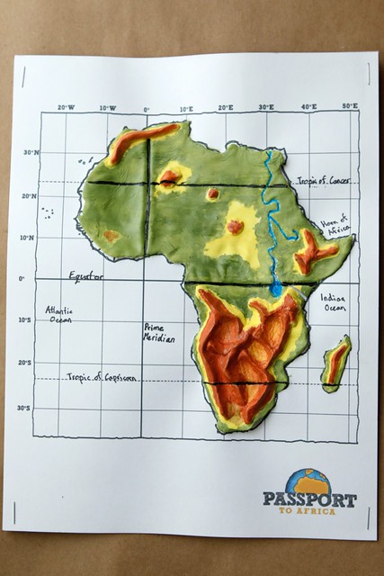
Reference map of Africa (R-1f) with elevation key
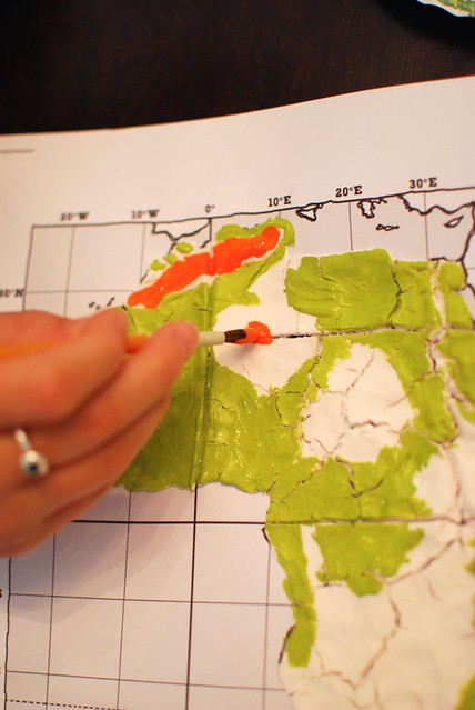
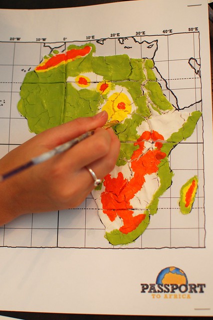
Begin by pulling the Africa reference map from the geography section of your notebook, or download and print from the link above. You will also need paintbrushes and green, blue, yellow, orange and black paint.
Paint land areas: Take note of the elevation key and notice that the different elevations are in different colors. 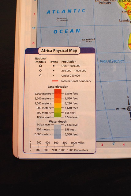
Imitate the map with your painting.
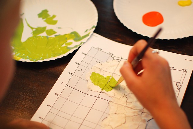
Paint mountain regions and lower elevations in different colors as indicated.
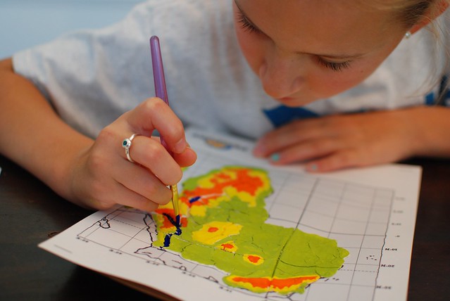
As you begin to label and paint oceans, rivers and lakes you have 2 different options:
1.) Paint in Lake Victoria and the Nile River with blue. Also paint a thin layer of blue all over the ocean areas, as well as the areas of the Mediterranean Sea and the Red Sea.
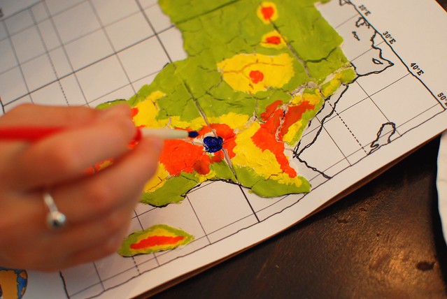
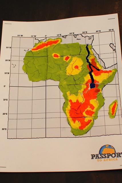
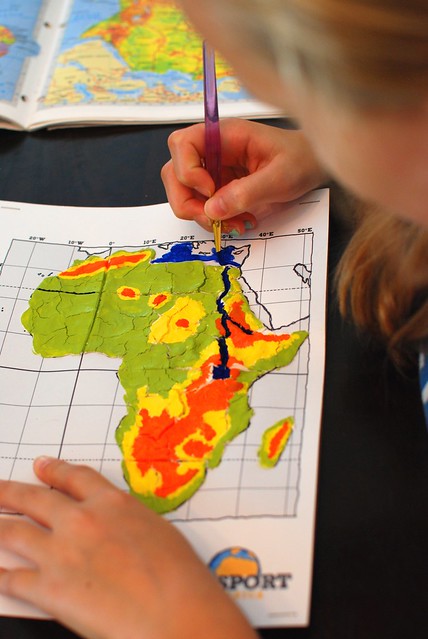
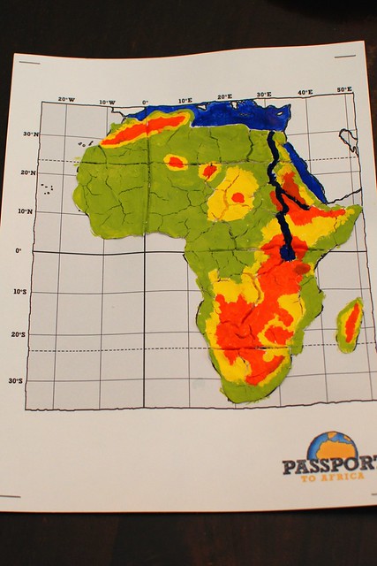
Paint a black line for the Equator, the Prime Meridian, the Tropic of Capricorn and the Tropic of Cancer.
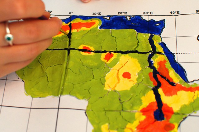
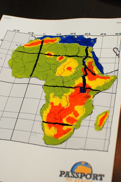
Or 2.) Paint in Lake Victoria and the Nile River with blue. But do NOT paint ocean or sea areas; instead follow the example below by labeling:
- Equator
- PrimeMeridian
- Tropic of Capricorn
- Tropic of Cancer
- Indian Ocean
- Atlantic Ocean
- Horn of Africa (area including Somalia, Ethiopia, Djibouti and Eritrea)
- Mediterranean Sea
- Red Sea
- Strait of Gibraltar (separates Africa from Spain)
- Sinai Peninsula (connects Africa to the Middle East)
- Madagascar
![]()