![]()
Let’s begin to learn about the geography of the second largest continent on earth, Africa.
In the old days, we used salt dough to make a physical map of Africa. Today, a handy material called Model Magic is available.
Let’s begin…..
What you will need:
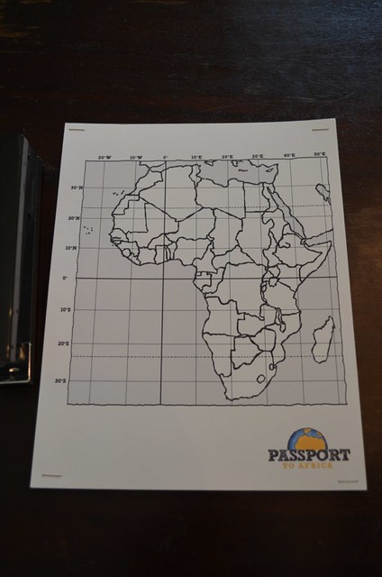
- Download R-1e Africa grid map, print on cardstock
- colored cardstock
- stapler
- Download R-1f Africa reference map, print on cardstock
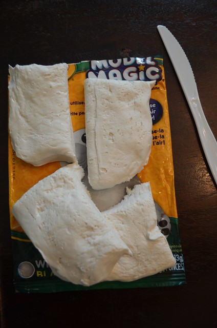
- 1 oz. Model Magic clay per student
- Q-tip
- toothpick
- plastic knife
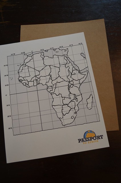
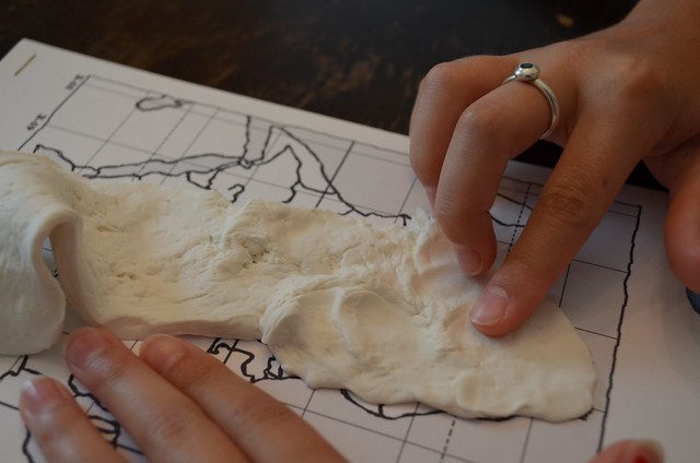
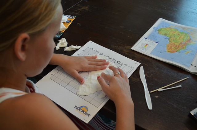
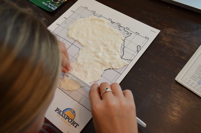
Begin by stapling the grid map to another piece of colored cardstock. You should do this in at least all four corners. This will add some support and help keep the map flat.
From here you will need 1 oz. of Model Magic, along with Q-tips, toothpicks, and a plastic knife for shaping and defining the physical features of your map. This was a 4 oz. clump now cut into 1 oz. pieces.
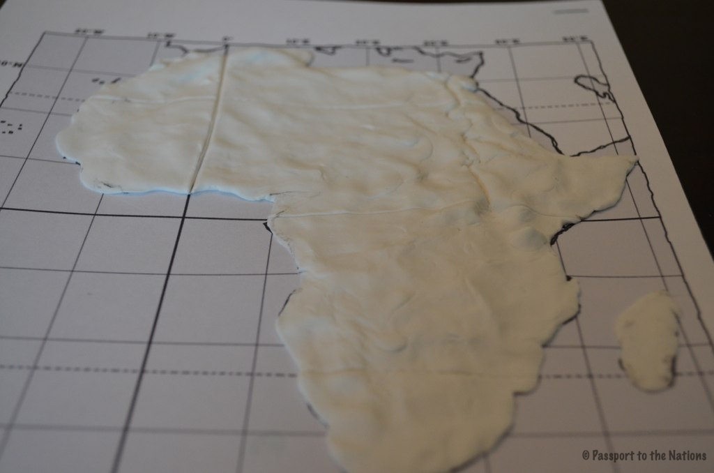
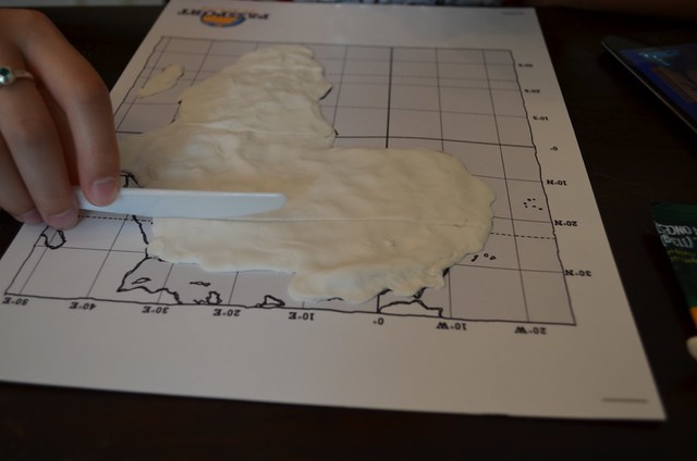
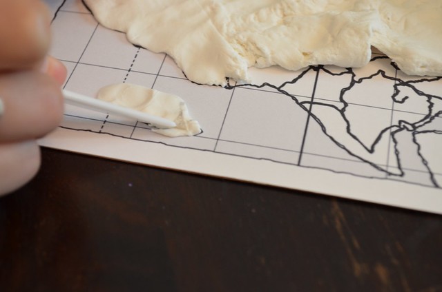
Using the Africa reference map as a guide, fill in the outline of Africa with the Model Magic, being sure to spread the dough as thin as possible. Model Magic has moisture in it, and as it dries, it will shrink and make the paper it’s on “draw up”. The thicker the map, the more profound this problem will be.
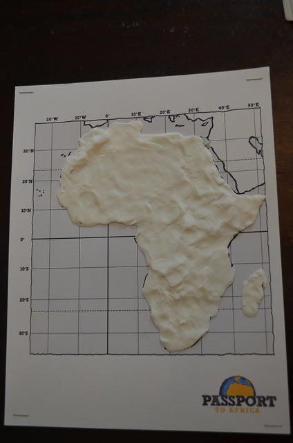
Notice we avoided the Arabian peninsula (land mass in the top right corner).
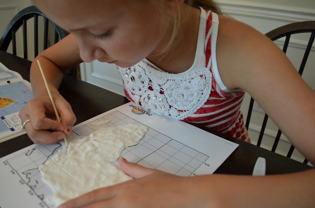
Now it’s time to add some details! Using a plastic knife carve out lines representing the following lines of latitude and longitude:
Equator – runs horizontally at 0 degrees latitude.
Prime Meridian – runs vertically at 0 degrees longitude.
Tropic of Cancer – line of latitude at 23.5 degrees North
Tropic of Capricorn – line of latitude at 23.5 degrees South
Follow the gridlines on your outline map for proper placement of these lines.
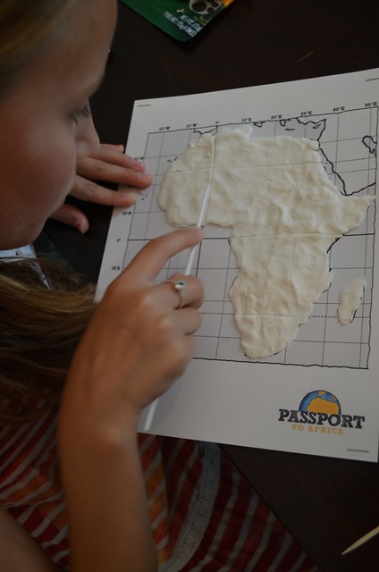
Note: Africa is the ONLY continent in the world through which all four of these lines run!
Next, build up the “dough” to symbolize the mountainous regions in the southern and eastern portions of Africa. Also, note the area of the Atlas Mountains in northern Africa. Make a “mountain” and place it on the map to represent Mt. Kilamanjaro. Mt. Kilamanjaro is located in Tanzania.
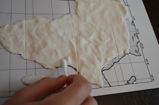
Use a Q-tip to make the indention for Lake Victoria. The Northern edge of Lake Victoria lies at the Equator. Interestingly, the head waters of the Nile River are thought to flow from Lake Victoria.
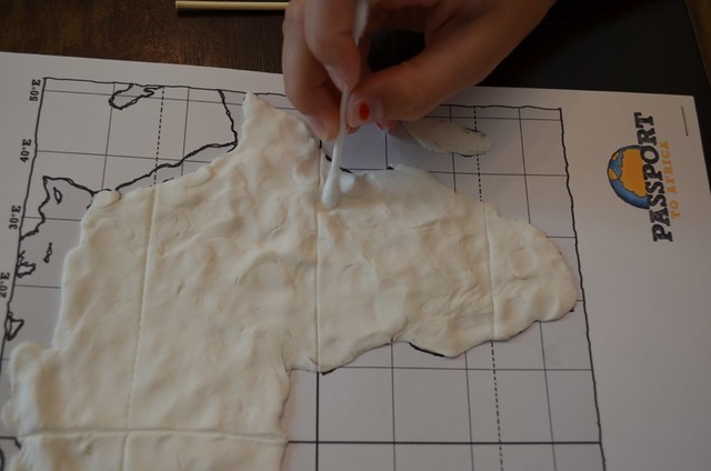
Use a toothpick to trace the northward flow of the Nile River ending at the Mediterranean Sea.
Make sure you remember to cover the island of Madagascar, the fourth largest island in the world.
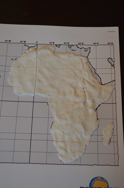
Leave your map out to dry. Next week we will paint and label our maps and begin to cement our understanding of the big picture geography of Africa.
Also, keep your Africa reference map tucked away in the geography section of your notebook. You will use this resource in other lessons.
![]()