Want to make a map of Africa out of some “old school” salt dough? It’s super easy to make! Here’s how…….
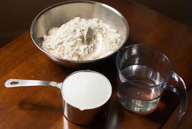
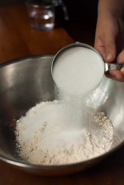
Combine 2 cups all-purpose flour
1 cup salt
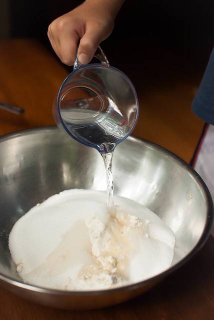
3/4 cup water
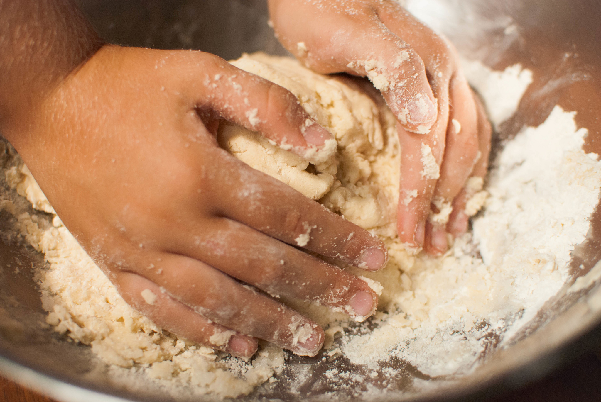
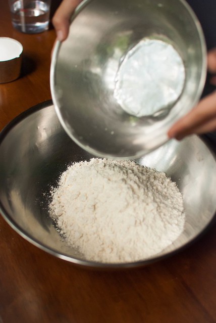
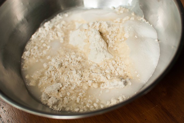
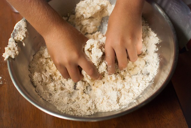
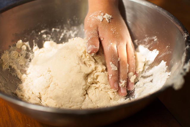
Mix ingredients together with a spoon.
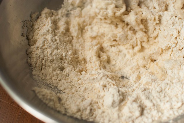
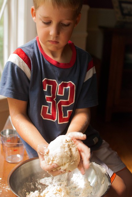
As the dough gets thicker, you can knead it with your hands.
Now, let’s create a map of Africa with the dough?
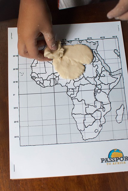
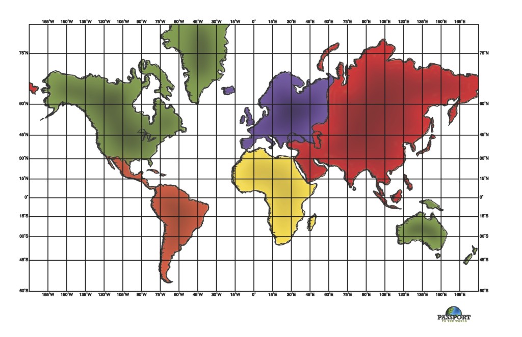
Click HERE to download a map of Africa. Print this out on cardstock and staple to craft paper to add a little more structure and stability.
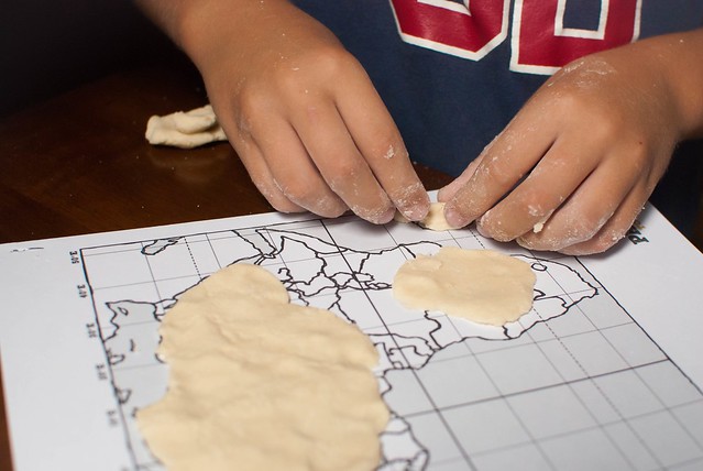
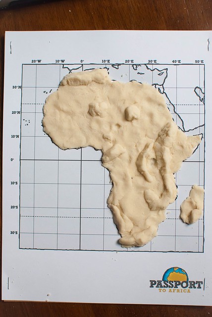
Press dough in a thin layer over the map.
Use a physical map of Africa as a guide to build up mountains and create indentions for lakes and rivers.
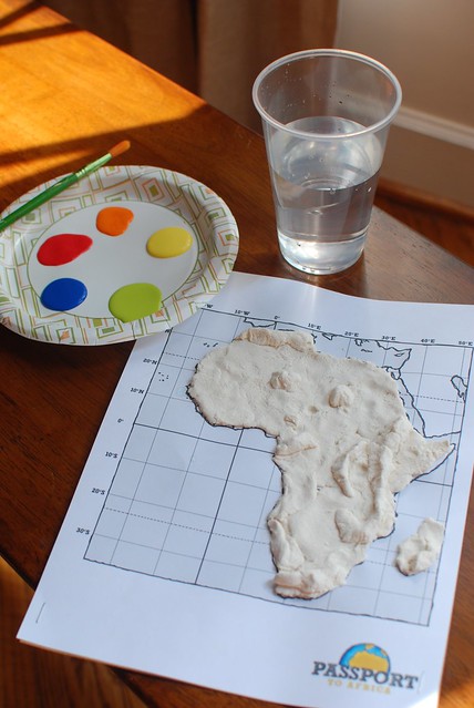
Leave your map out to dry for several days.
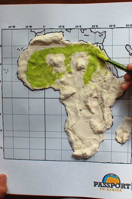
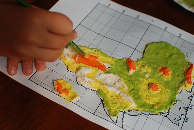
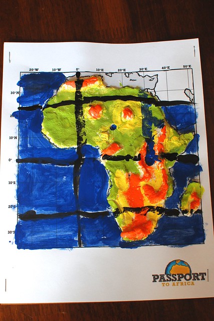
Next, paint and label your map. Again, use a physical map of Africa as your guide to paint and label things such as:
- The Atlas Mountains
- Mt. Kilimanjaro (the highest point in Africa)
- Lake Victoria (the largest lake in Africa)
- The Nile River (flows Northward from Lake Victoria and empties into the Mediterranean Sea)
- The Equator and Prime Meridian
- The Tropic of Cancer and Tropic of Capricorn
- The island of Madagascar
- Surrounding oceans and seas
Such a fun way to learn some of the geography of the second largest continent in the world!
