by Passport to the Nations | Oct 14, 2015 | God is Provider, Passport to Latin America
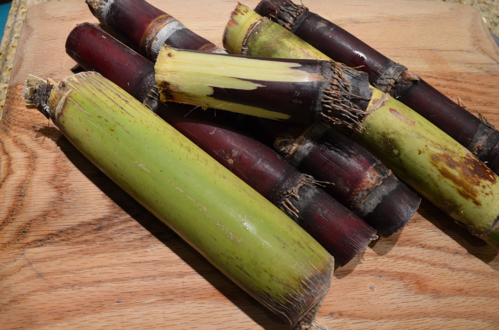
All plants produce sugar through a process called photosynthesis, but a few plants produce a lot of sugar. One of those plants is the sugar cane. The sugar that the sugar cane plant produces in stored in its tall, hard stem. One of the most unusual facts about sugar...
by Passport to the Nations | Oct 1, 2015 | God is Creator, Passport to Latin America
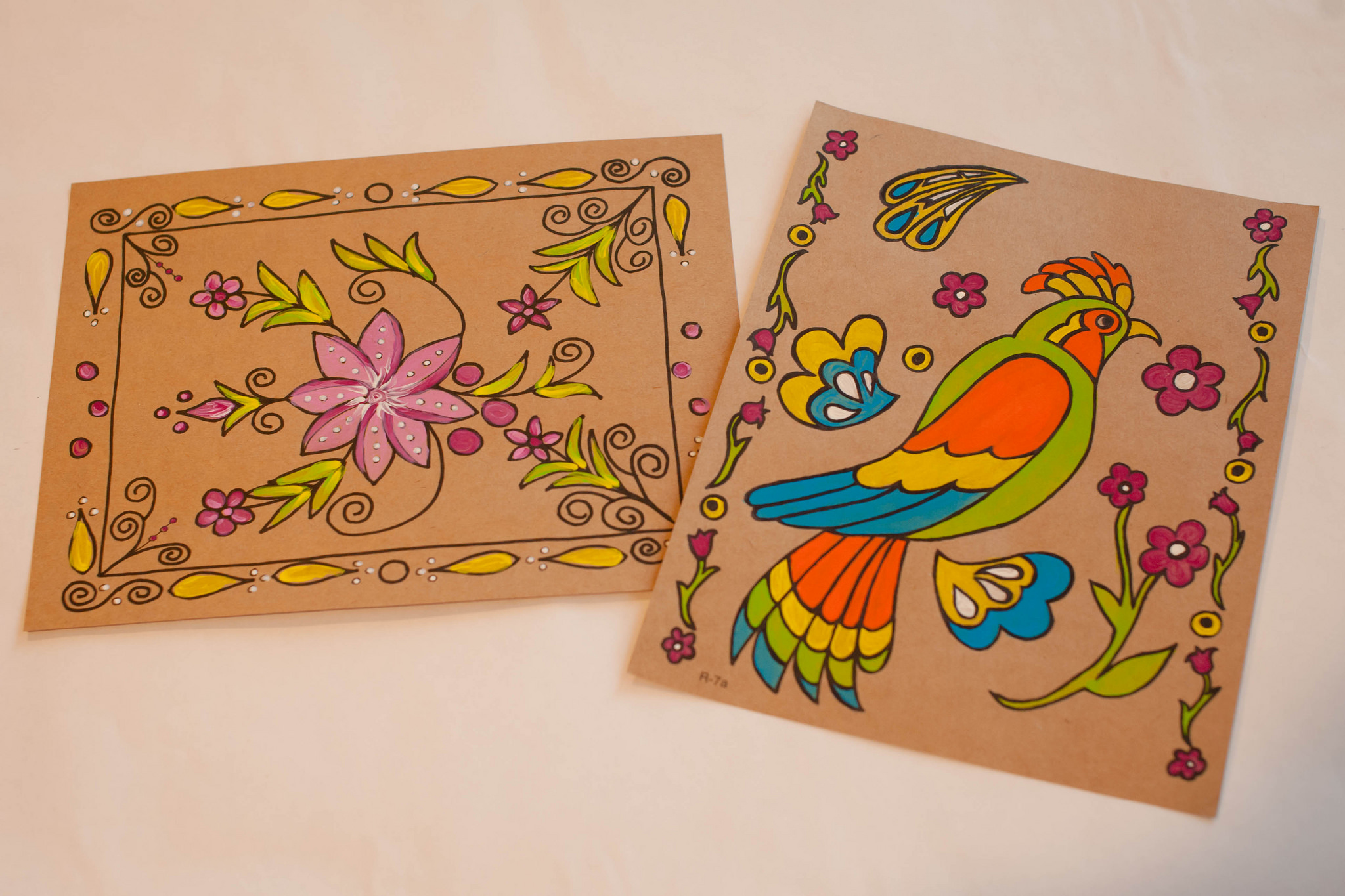
The people of Mexico have been making paper since before the time of Christopher Columbus. Specifically, the Otomi Indians, living in San Pablito, an isolated village in the mountains of Mexico, still make Papel Amate. The paper is made from the bark of wild...
by Passport to the Nations | Sep 27, 2015 | God is Provider, Passport to Latin America
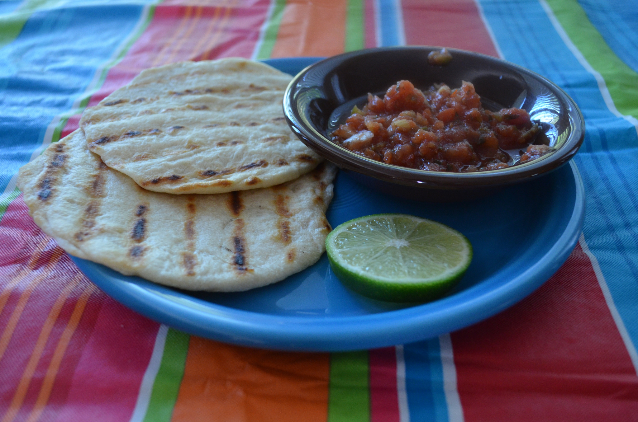
You will need: 2 1/2 cups all-purpose flour 2 1/2 teaspoons baking powder 1 teaspoon Kosher salt 1/2 cup lard or vegetable shortening 1 cup hot water large griddle or skillet Instructions: Begin by putting flour in a medium bowl and mixing in baking powder and salt....
by Passport to the Nations | Sep 26, 2015 | MAP, Passport to Latin America
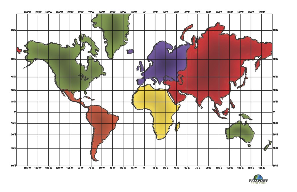
Can your students name the two peninsulas found in Mexico? Or do they know the names of the 7 countries that make up the Central American isthmus? Do they know to which country in South America Panama connects? Help them find the answers to these geography...
by Passport to the Nations | Sep 26, 2015 | God is Creator, Passport to Latin America
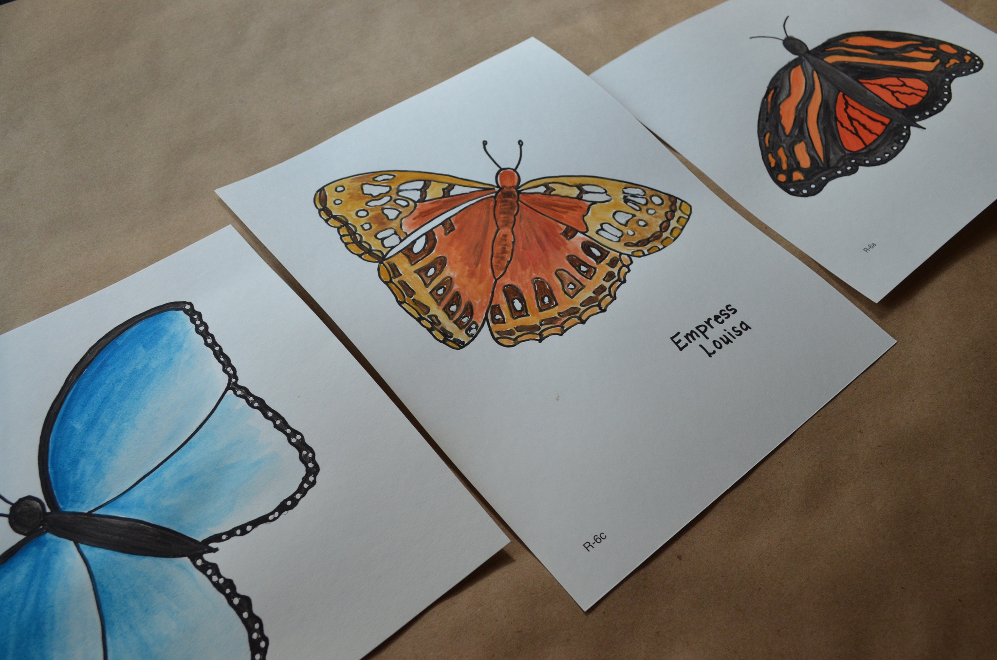
God’s creation is amazing! Butterflies are among the most beautiful and marvelous creatures in all of nature, and a perfect picture of a spiritual truth God wants us to learn. Did you know that a butterfly goes through a physical transformation from a caterpillar to a...


